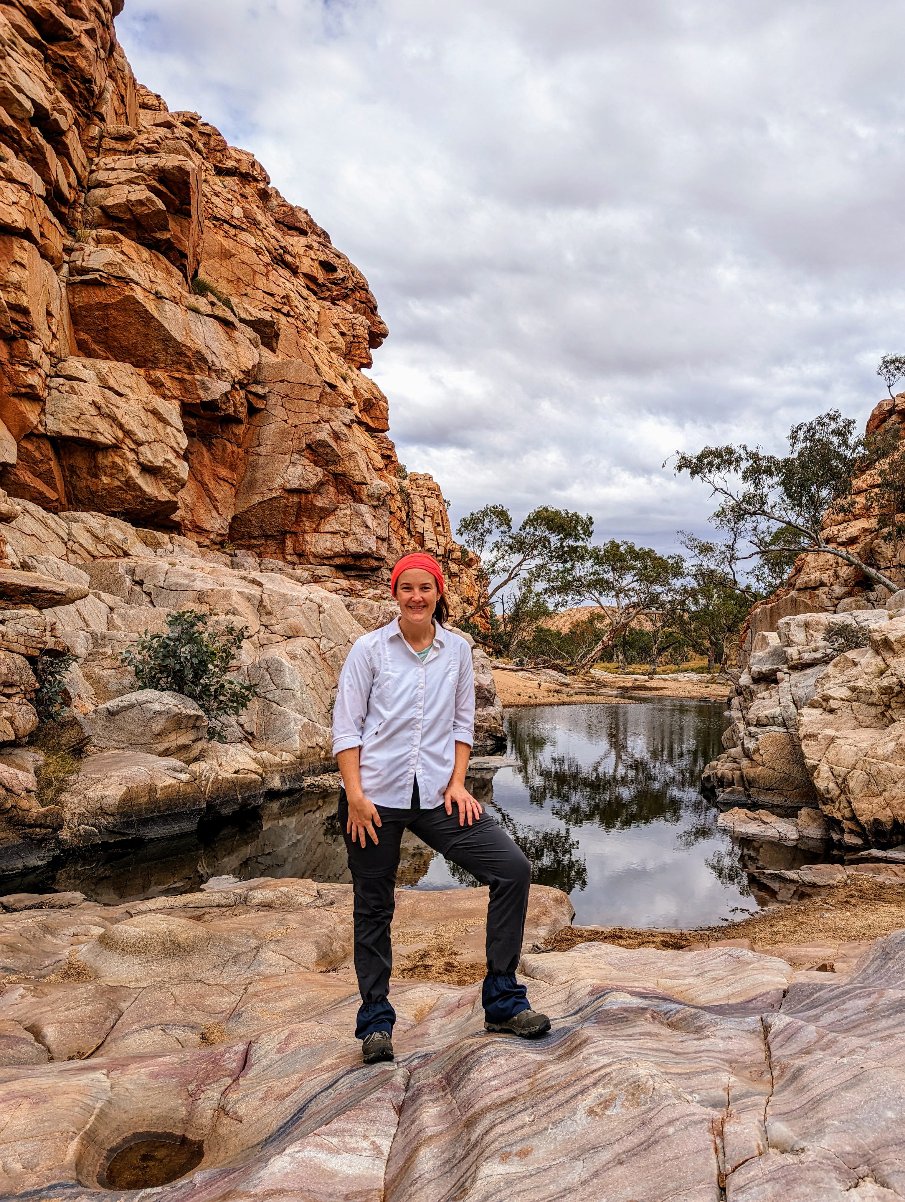
The Larapinta Trail is a 223km trail across Tjoritja - the West MacDonnell Ranges - in the Northern Territory. The trail is made up of 12 distinct sections which can be hiked over 10 or more days. However, I booked with Trek Larapinta to do a six day walk during which we’d walk the six hardest, and most stunning, sections of the trail, experiencing the arresting landscapes of semi-arid central Australia.
Day one: section 3, 20km
On the first morning, day one of six, our group of 8 walkers were collected by our two guides from various hotels in Mparntwa (Alice Springs) at around 6.30am and we drove out of town, getting to know each other as we chatted in the back of the troopie, to the location where we would start our six day walk. When we arrived at the place where we would start walking, we made our introductions and the guides acknowledged Country.
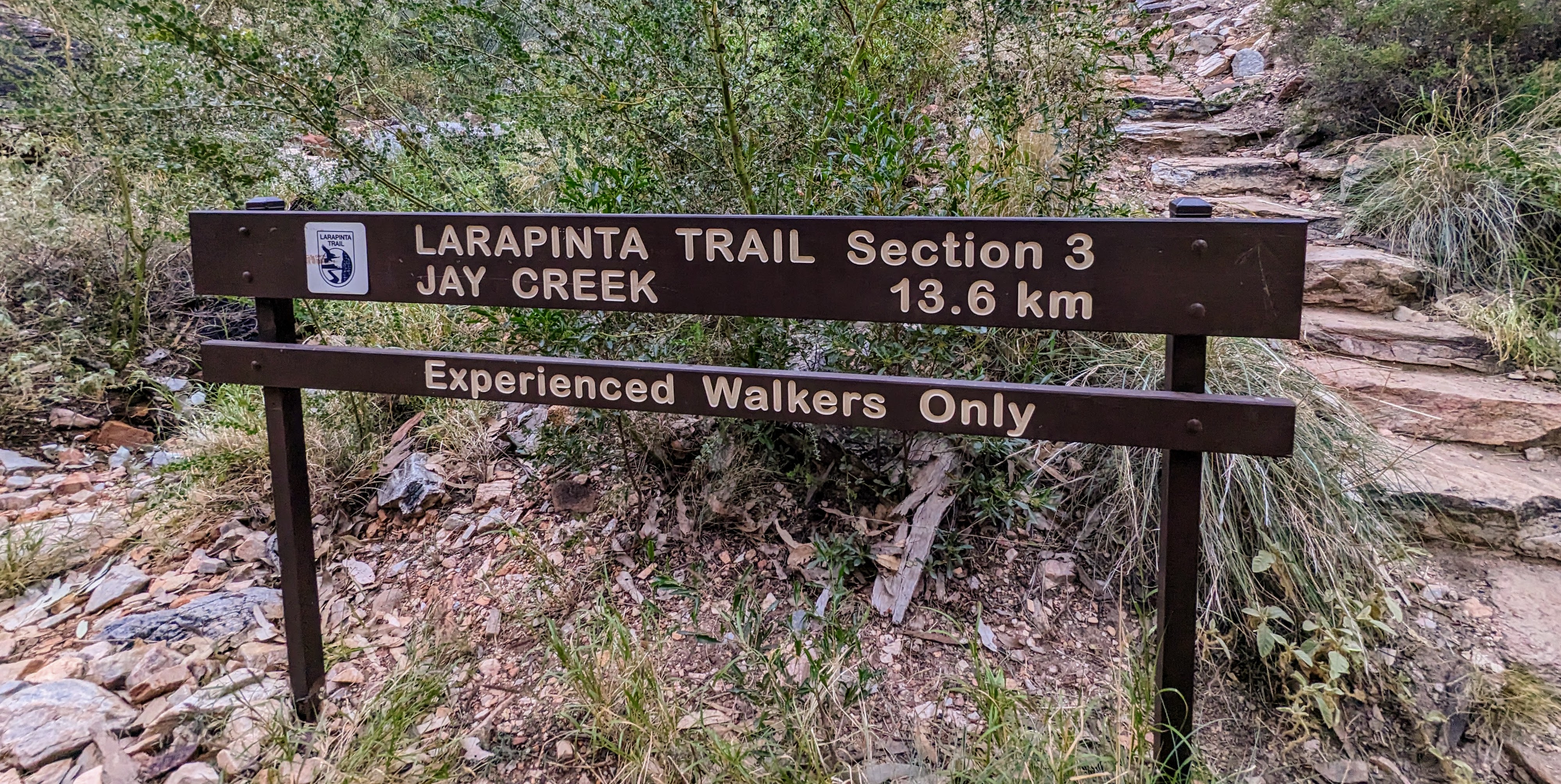
A section 3 signpost
The Arrernte people of central Australia are the traditional owners of the country we walked on, slept on, and journeyed through during our six day hike. These ancient peoples have been connected to Country for thousands of years, preserving through successive generations, one of the longest continuing cultures on earth. Some of the very first dreaming stories ever recorded were those told by the Arrernte of central Australia, who continue to practise their culture in and around Alice Springs, ensuring that their language and customs are maintained for generations to come.
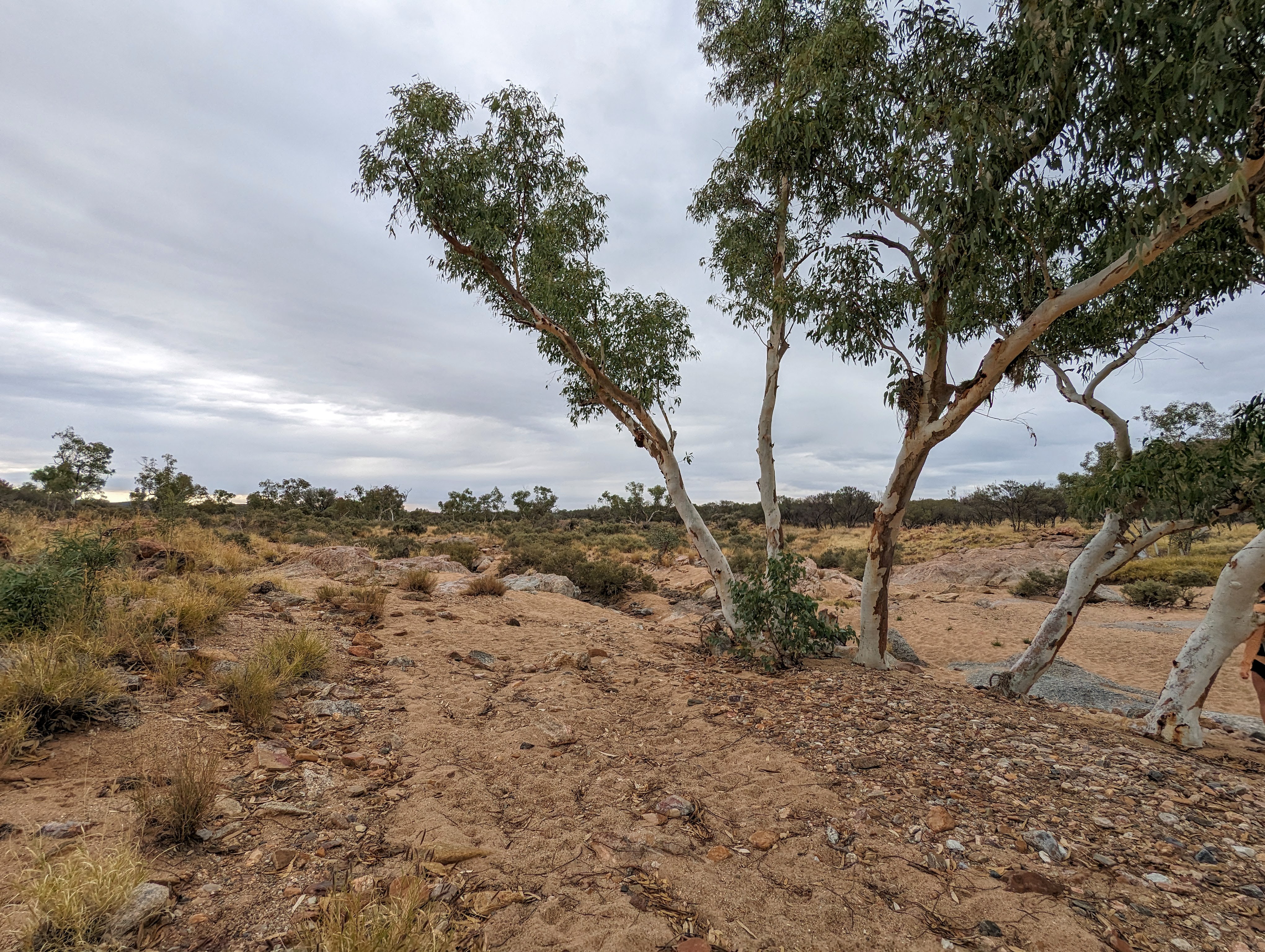
We started day one of our walk, several kilometres from the official start of section 3 of the trail, adding additional kilometres to the official length of the section. Our walk was set up so that one guide walked with us and the other headed off to where we would camp at the end of the day’s walk to prepare the camp site and dinner. Section 3 of the trail commenced with a long walk through a dry riverbed. The ground alternated between sand and rock, immediately challenging my calves and feet. Uncharacteristically for the dry season, the sky was covered in grey clouds, but the land remained resolutely dry, allowing us to navigate the riverbeds and scale the dry waterfalls, now devoid of any flowing water.
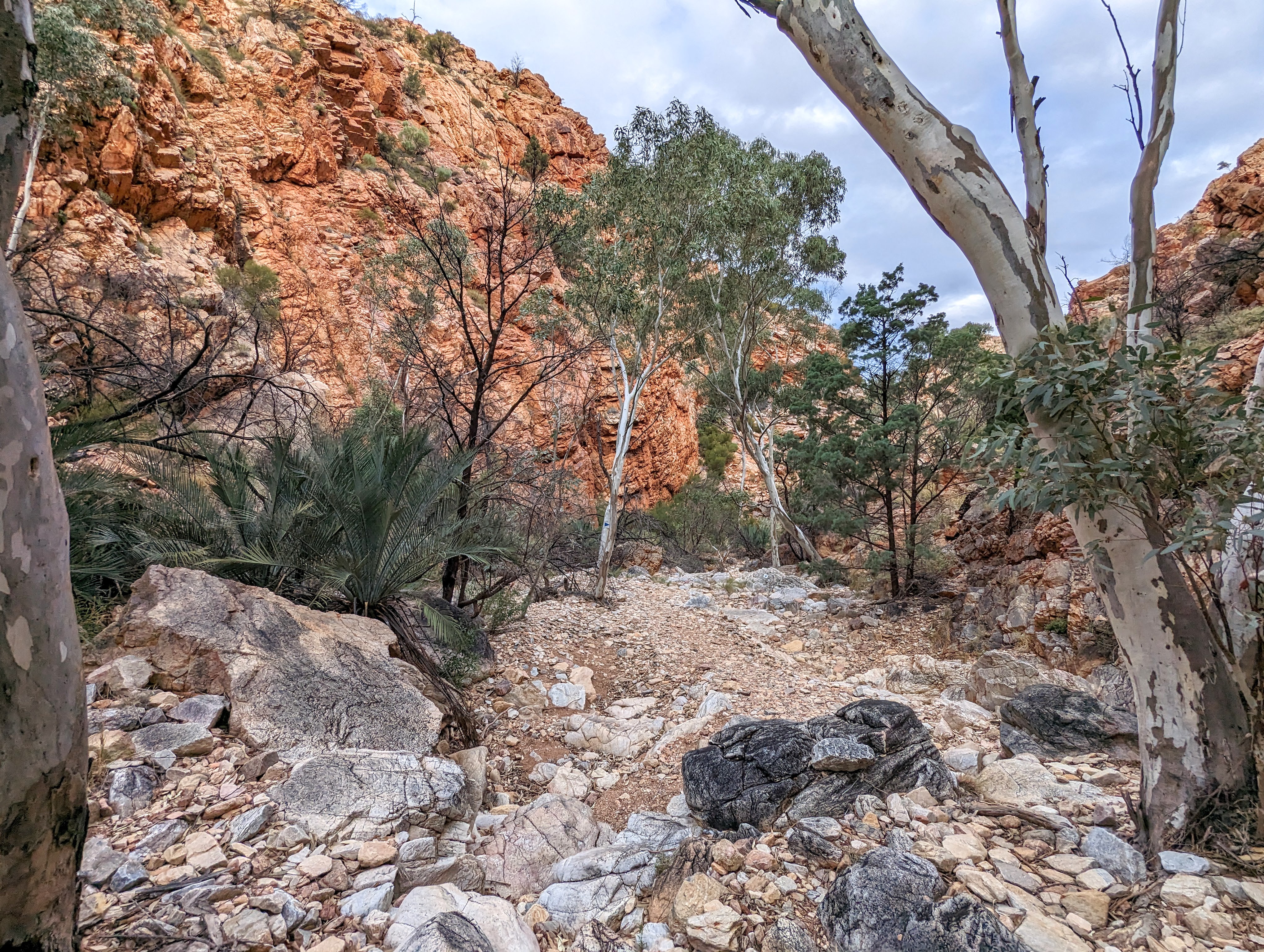
The rocky, dry riverbeds characteristic of the Larapinta Trail
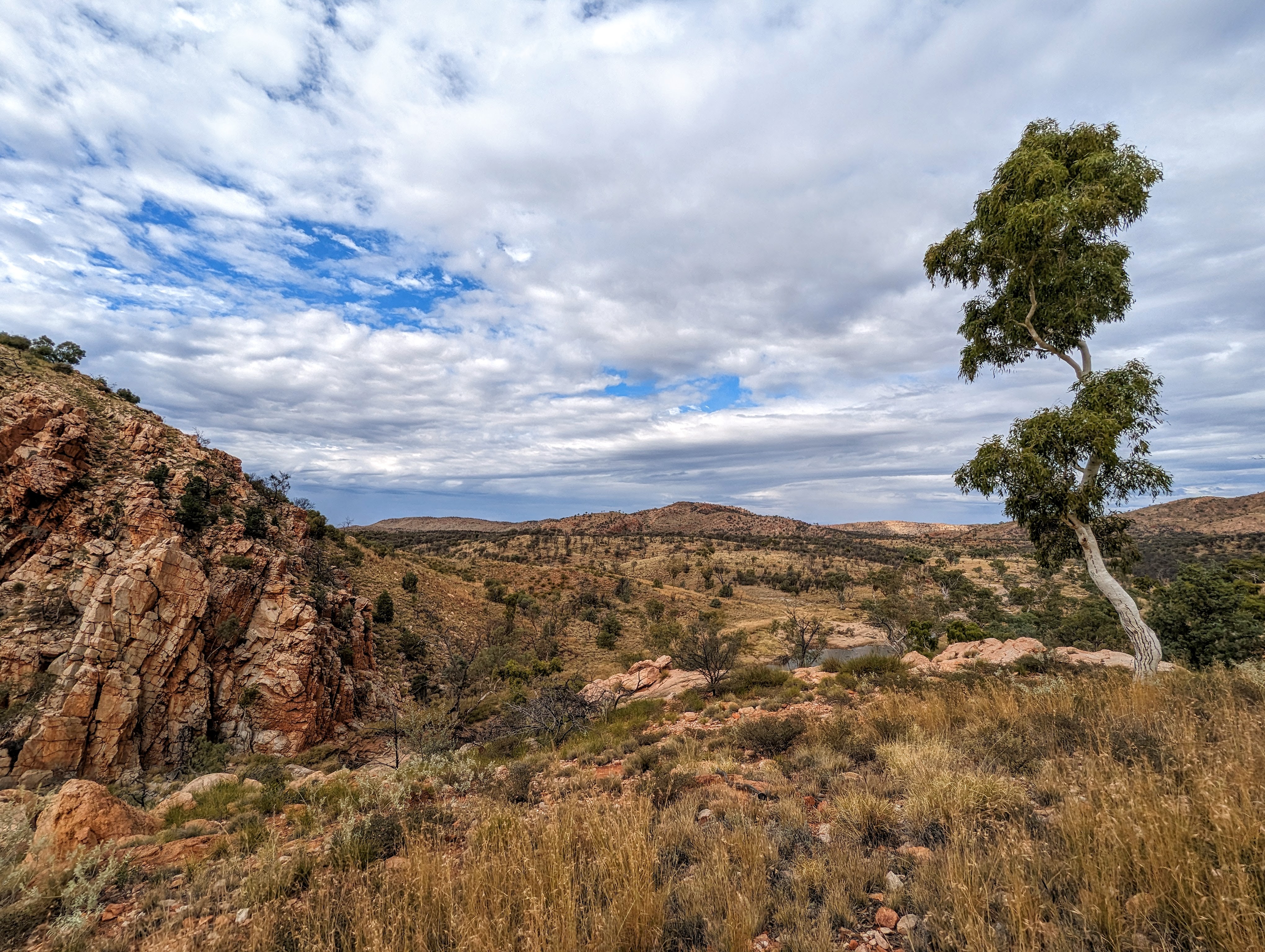
After nearly 16km of relentlessly rocky terrain, we completed one last sharp ascent to be rewarded with our first view of the sprawling landscape that we would traverse over the remaining 5 days.
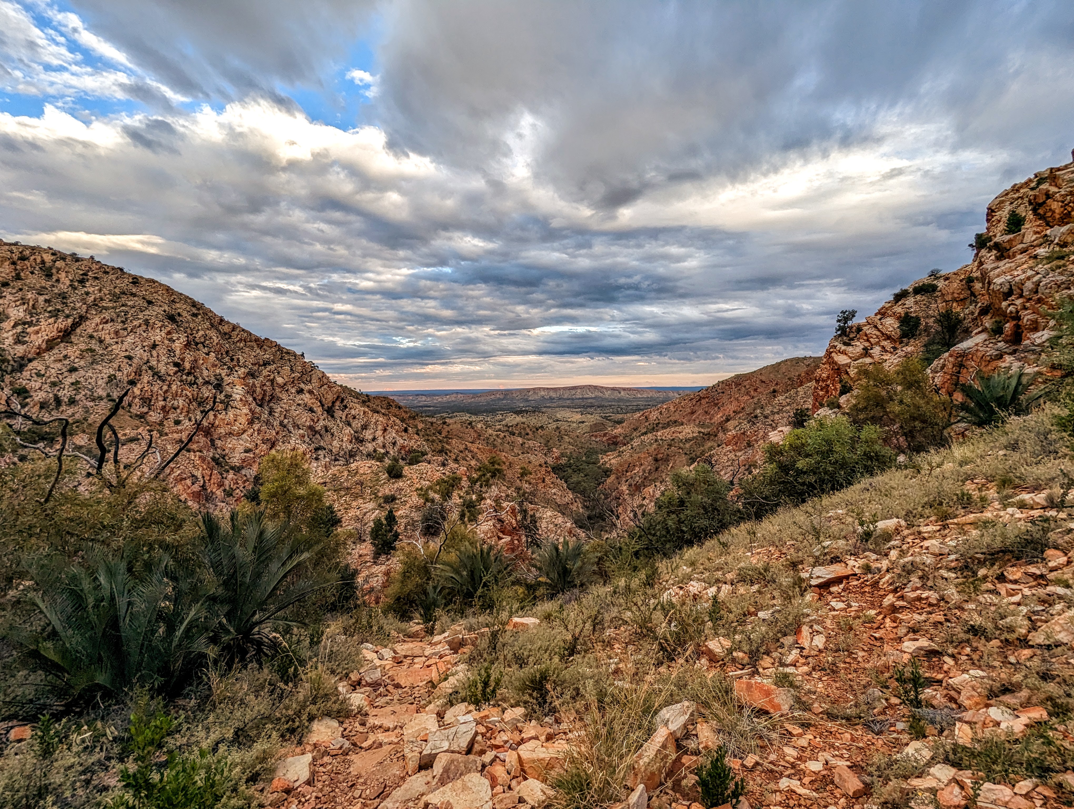
Our first view
After descending from our vantage point down to the end of section 3 (or the start, for those walking the other direction), we walked a short distance from the signpost to the iconic Standley Chasm. Meaning “gap of water", Angkerle Atwatye is a 3m wide, 80m high gorge formed over 2 billion years ago, and sacred to women’s dreaming of the Arrernte people.
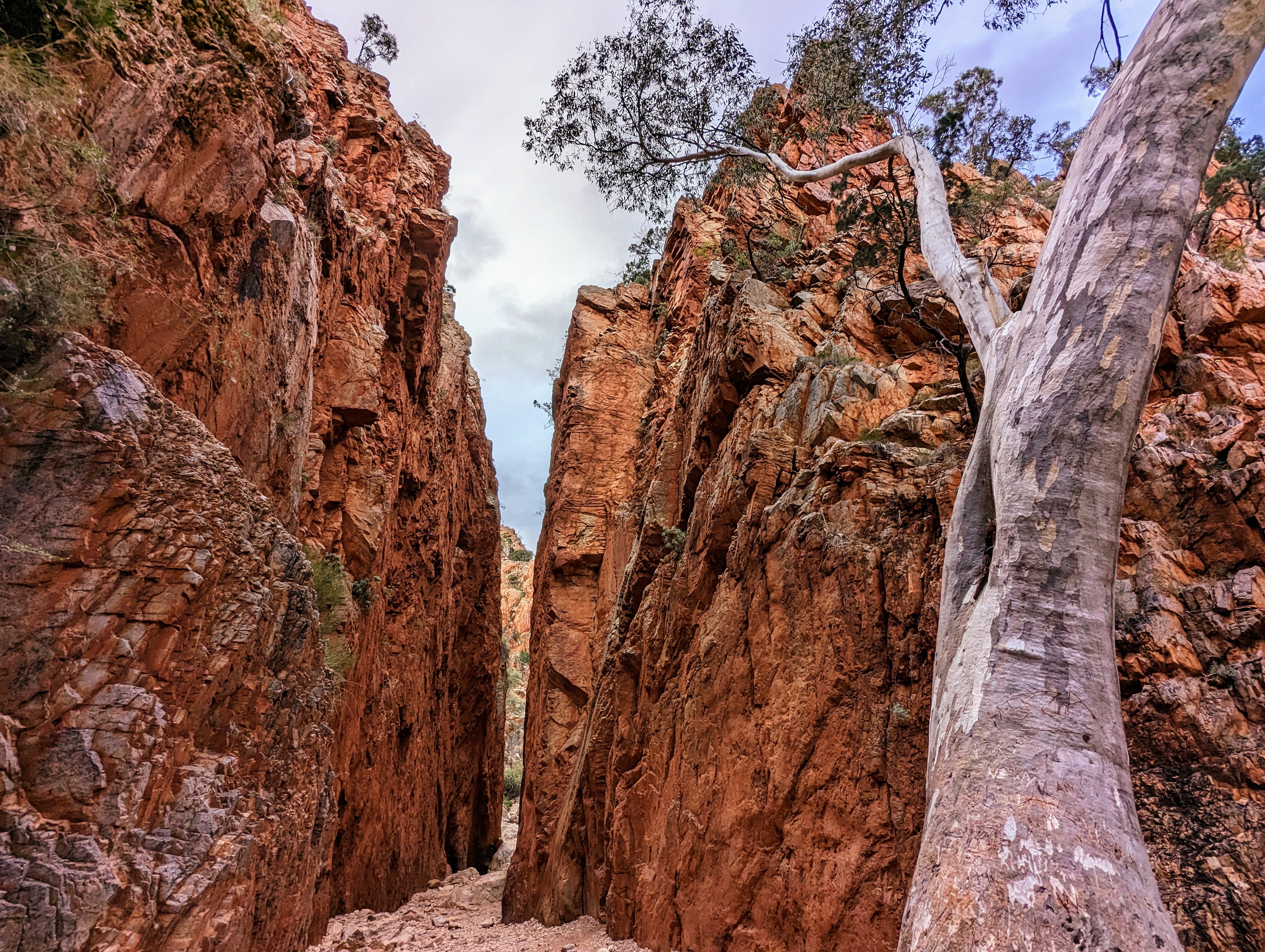
Standley Chasm / Angkerle Atwatye
After marvelling at this sacred site, we walked the last few hundred metres into camp as the sun was starting to set and the temperature dropping, warmly welcomed by the other guide who had already prepared a campfire and had tea and bruschetta waiting for us. After a brief rest, we set up our swags and then enjoyed dinner while we listened to our briefing for the next day.
It was my first time sleeping in an open swag. I was a little apprehensive and felt a little exposed, especially when the grey clouds released a light spattering of rain. But when the rain stopped and the clouds cleared, the moonless sky was spectacularly dark and vast and full of stars, and as I drifted off to sleep, I felt calm and enjoyed the freedom of the experience.
Day two: section 4, 19km
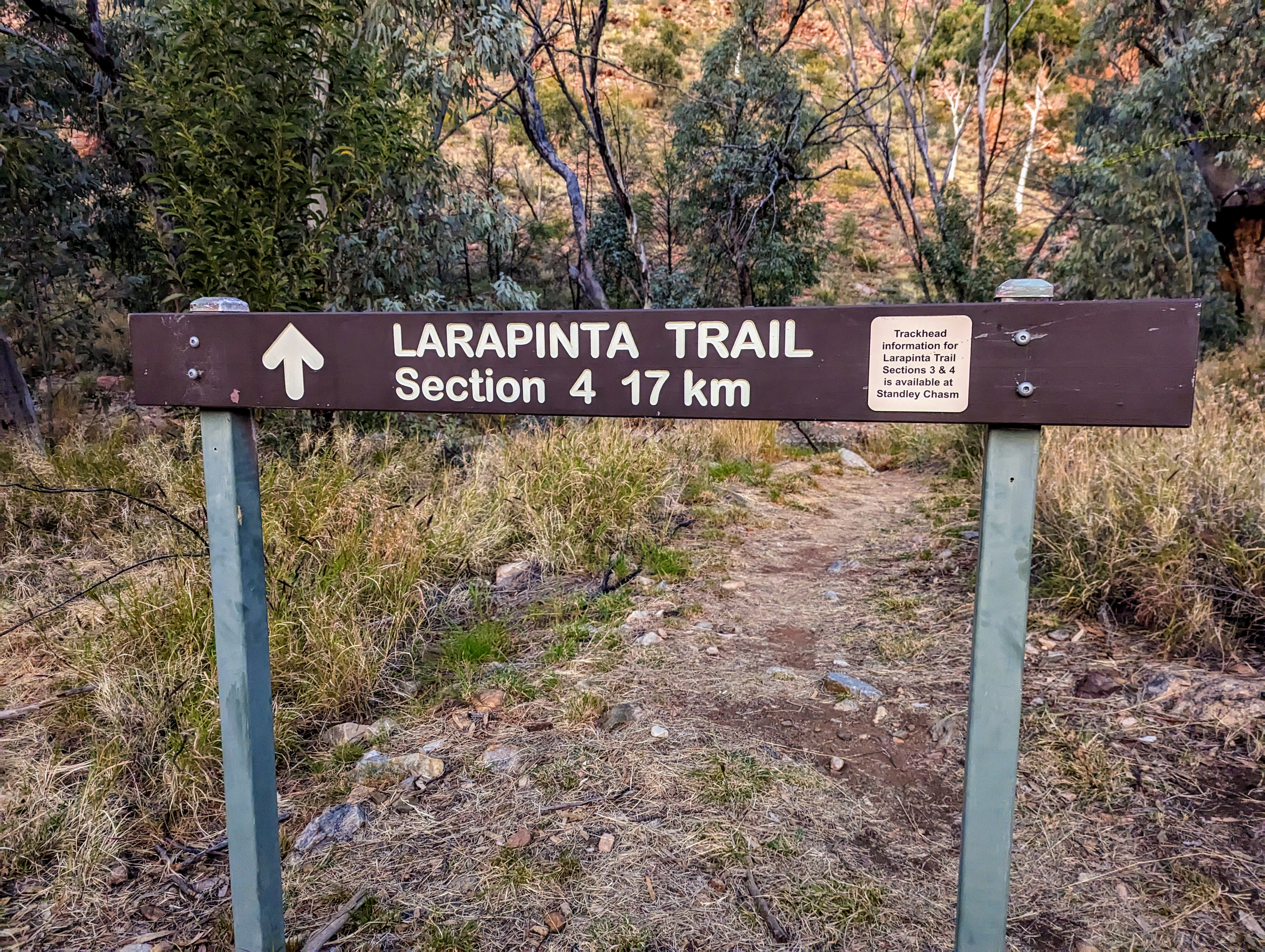
The signpost for section 4
We woke the next morning at 5.30am to have breakfast and pack up in the dark. We walked quietly out of camp, head torches on, to the start of section 4. Once more, the rocky trail beneath my feet tested my ankles, balance and concentration, as I tried to avoid the sharp-edged quartzite with each step.
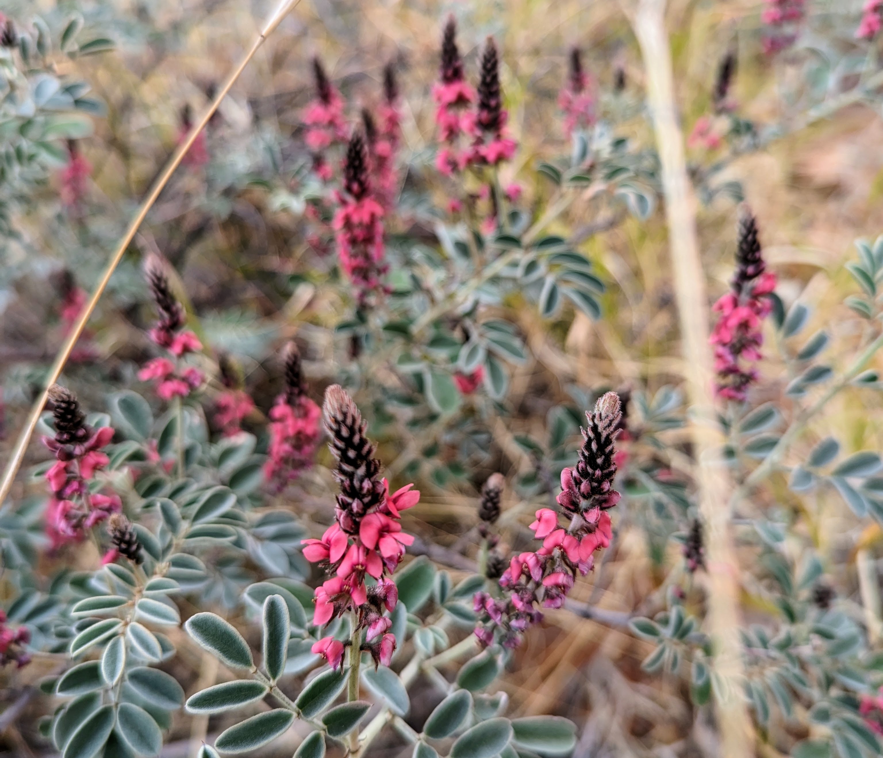
As the sun started to rise above the surrounding mountain range, we entered a rocky gorge, navigating our way through by climbing over boulders, and increasing in speed as the boulders turned to pebbles. With the sun now up, and our head torches packed away, we started a steep ascent to the ridgeline. From there, we could see the rusty red landscape stretching endlessly in every direction, the foreground dotted with flowering thryptomene.
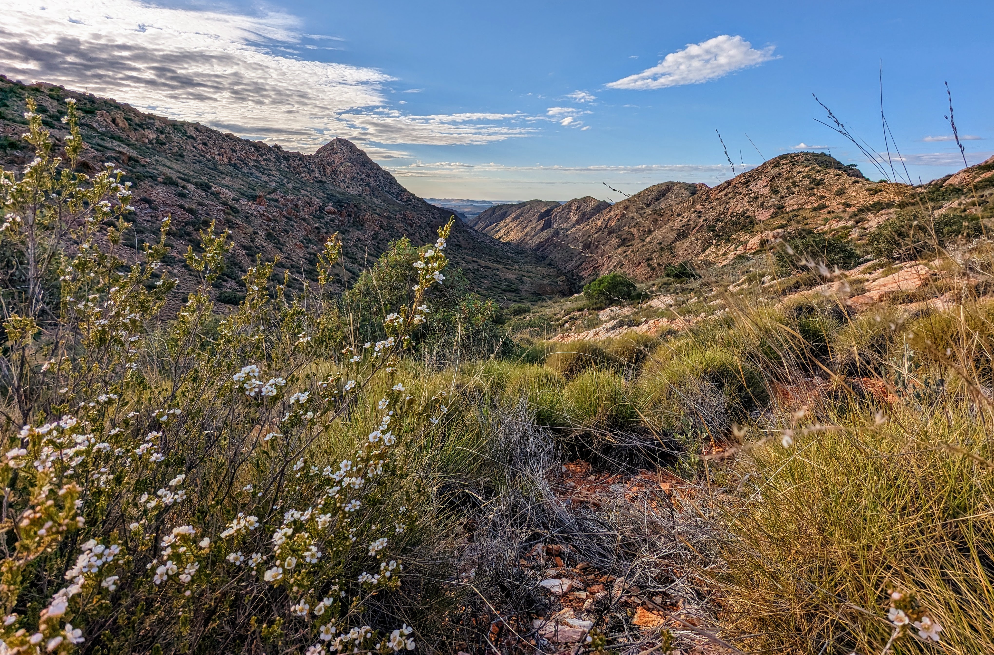
We continued along the ridgeline, blessed with a light breeze and cloud cover to protect us from the otherwise exposed ridge, taking in the blooming wildflowers and native grasses, until we reached Brinkley Bluff where we stopped for lunch. After lunch we navigated a steep descent, the ever-relentless rocks challenging every foot placement, until we reached the bottom, which was with relief as my left knee had started to twinge on the descending climb.
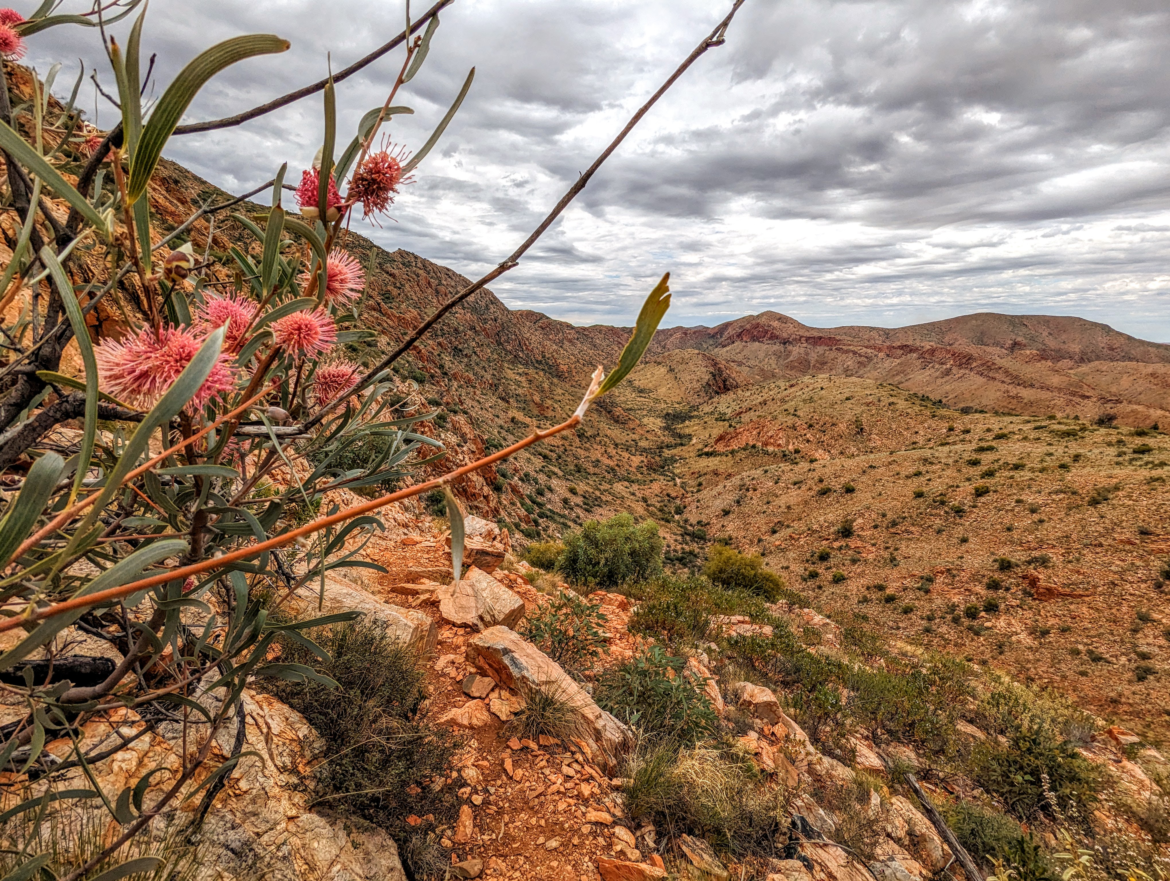
The wildflowers in bloom
After a few hours’ walking, the clouds now clearing in earnest, we arrived in a dry, sandy riverbed, where we sat, under the shade of a river gum. I lay down, taking my shoes and socks off so I could bury my hot feet in the cold sand. With the exhaustion catching up to us, the group fell silent, and I closed my eyes, listening to the birds whistling and the breeze rustling the eucalypt leaves overhead. Before I could drift off, we were up and walking again, picking up the pace as we walked the last couple of kilometres on relatively flat ground to our campsite.
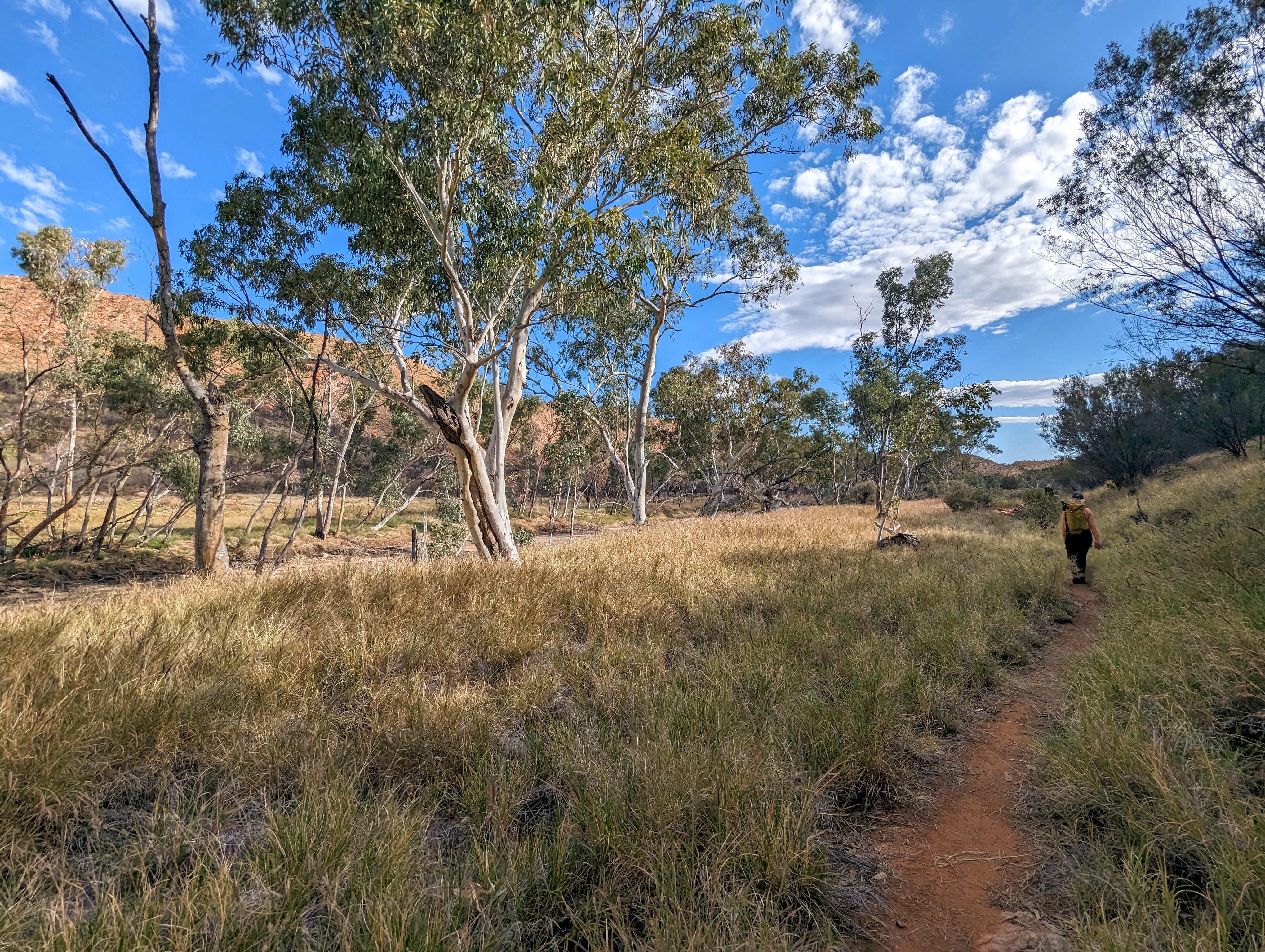
A reprise from the rocky ground to walk into camp
We arrived late afternoon at the remote and secluded Birthday Waterhole where we would sleep for two nights.
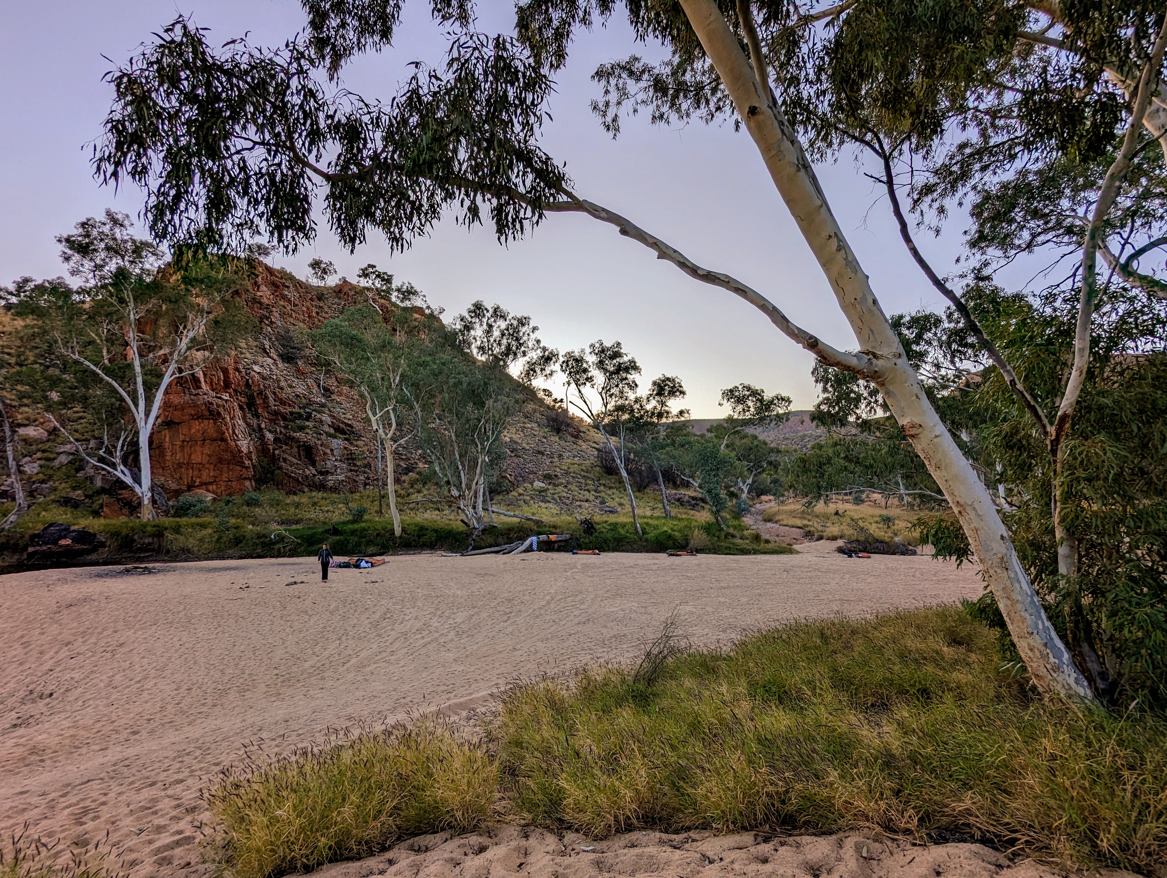
Birthday Waterhole camp site
After choosing a spot on the soft sand to set up my swag, I stripped off my sweaty hiking clothes and went for a swim in the icy cold water of the waterhole, emerging a scant two minutes later feeling clean and revitalised.
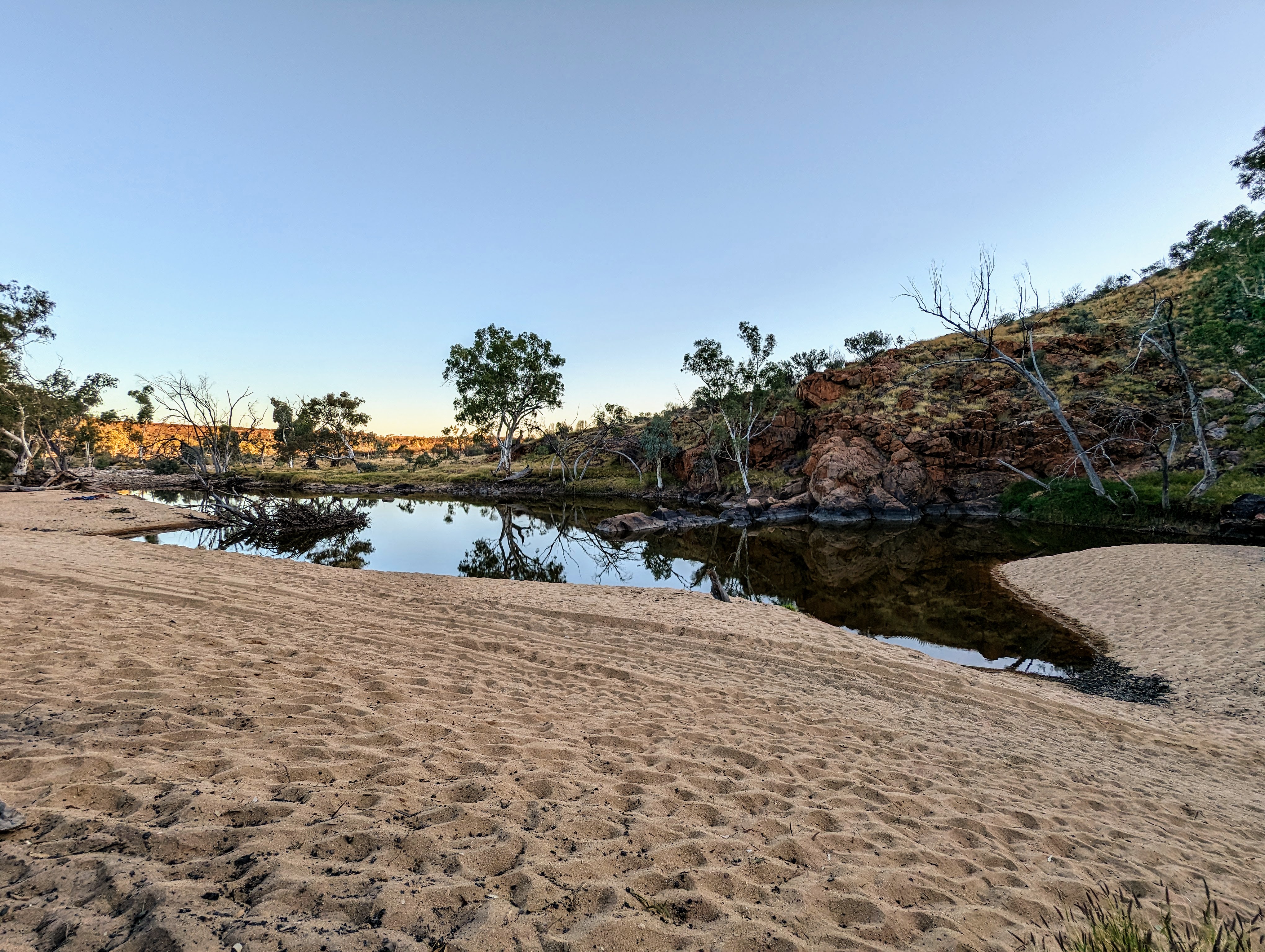
Birthday Waterhole
As the sun disappeared behind the gorge and evening temperature dropped, I put on my thermals and joined the group around the campfire for cheese and crackers. After dinner and a few toasted marshmallows, we headed to bed early, preparing ourselves for yet another early morning. The sky was clear and when night arrived, the stars exploded into view, the Milky Way a dazzling display across the most star-filled expanse of sky I have ever seen in my life.
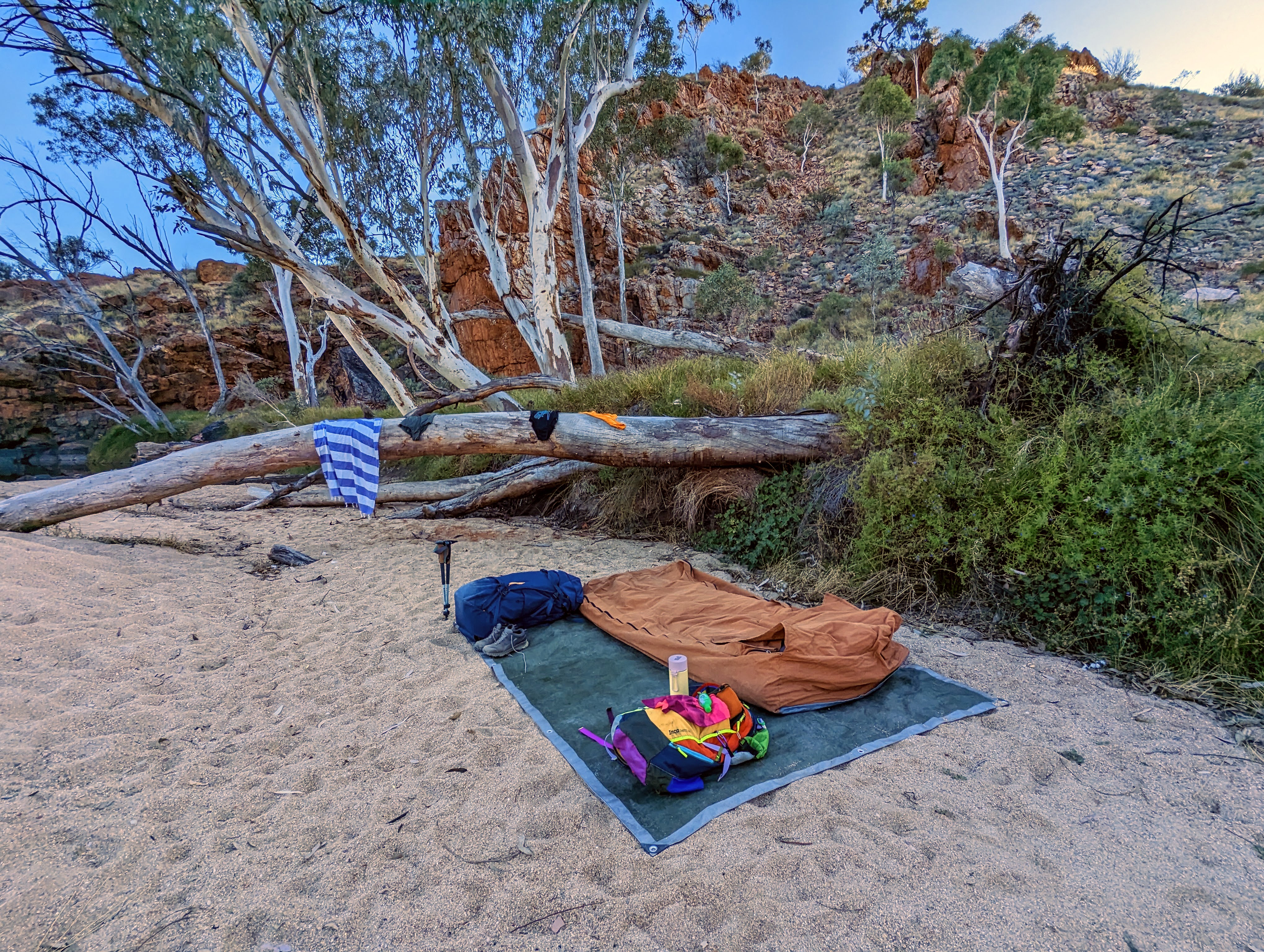
My swag on the soft sand beside the waterhole
Even though sleep was a little elusive, I wasn’t bothered, as I was warmly cocooned in my swag, watching the evolving night’s sky, its celestial patterns changing as the galaxy spun around the earth.
Day three: section 5, 16km
We were once again walking by 6.00am, head torches lighting the way. As the day passed, through ascents and descents and long stretches along high, rocky ridgelines, I wondered whether the paths were getting smoother or if I was simply growing accustomed to the rocky terrain of the Larapinta Trail.
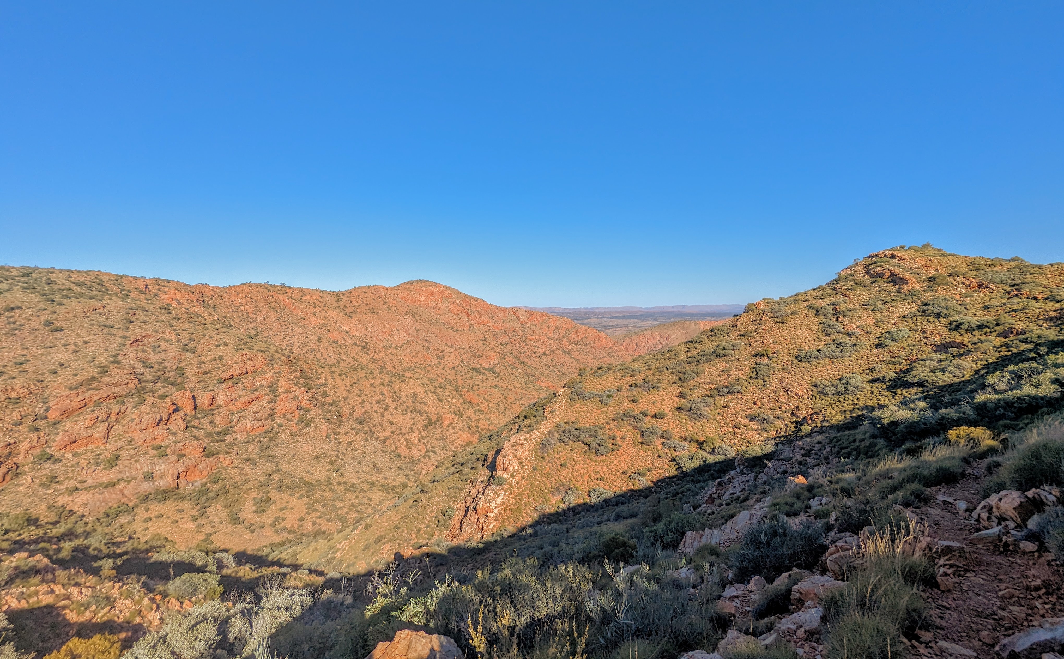
Expansive views from the high ridgelines
As the sun rose high in the sky, we naviagted along an exposed, narrow ridge. In certain parts, the rocky path was barely wide enough for single file, and the mountainside fell away abrubptly on either side.
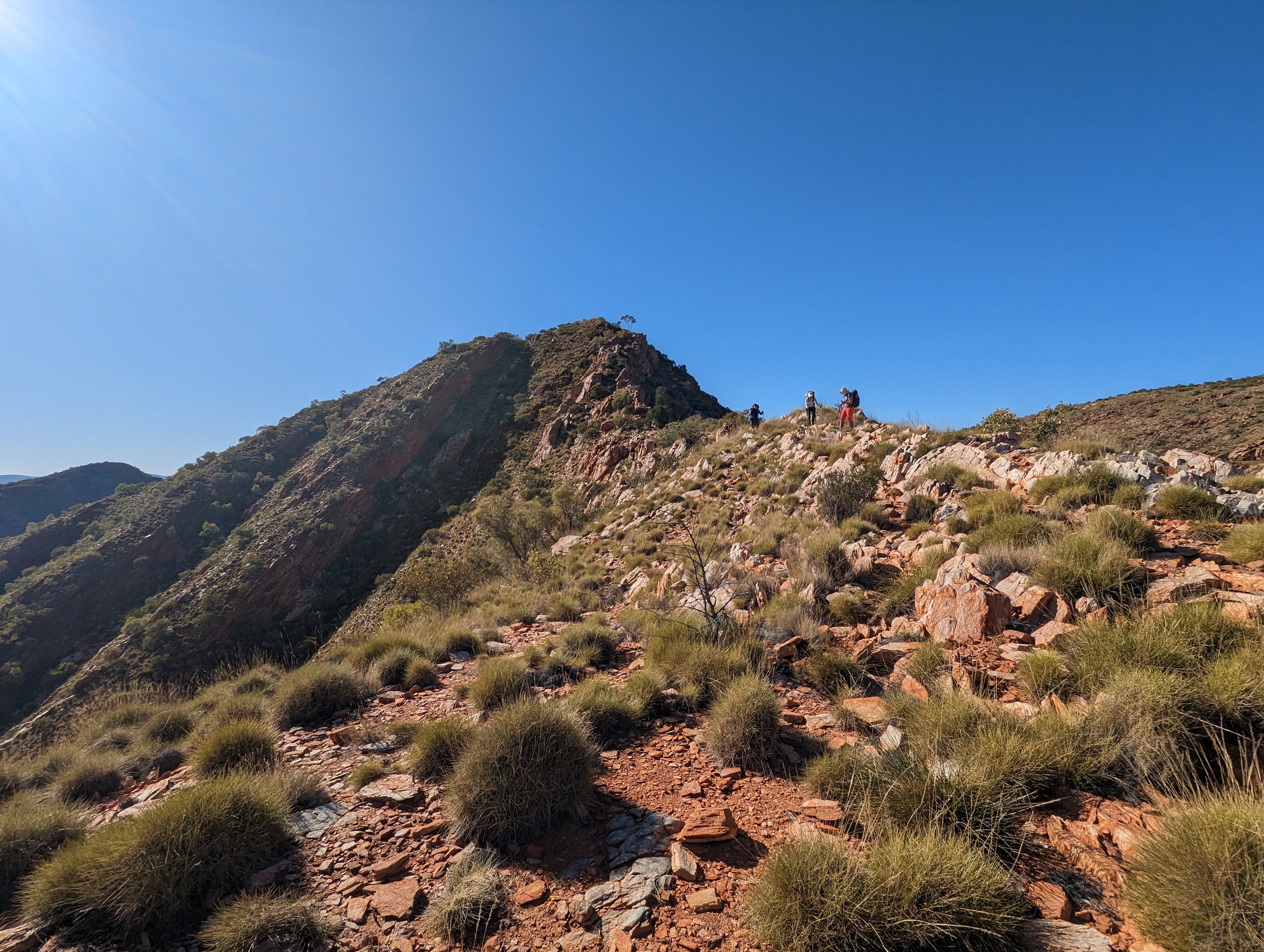
Looking back towards the ridgeline
As we completed the long descent down into a dry riverbed, my left knee started to ache and I became worried for what the remaining days held. We stopped for lunch in a beautiful bend of the river under the shade of the river gums anchored to its sandy edge. After finding a rare flat rock to sit on, I removed my shoes and socks to do a little blister care and enjoyed the rest, staring up into the oxidised cliffs rising above us in every direction, the red rock bold against a brilliant blue sky. Before we headed off, the guide strapped my knee, and I took some painkillers, hoping my knee wouldn’t worsen anymore.
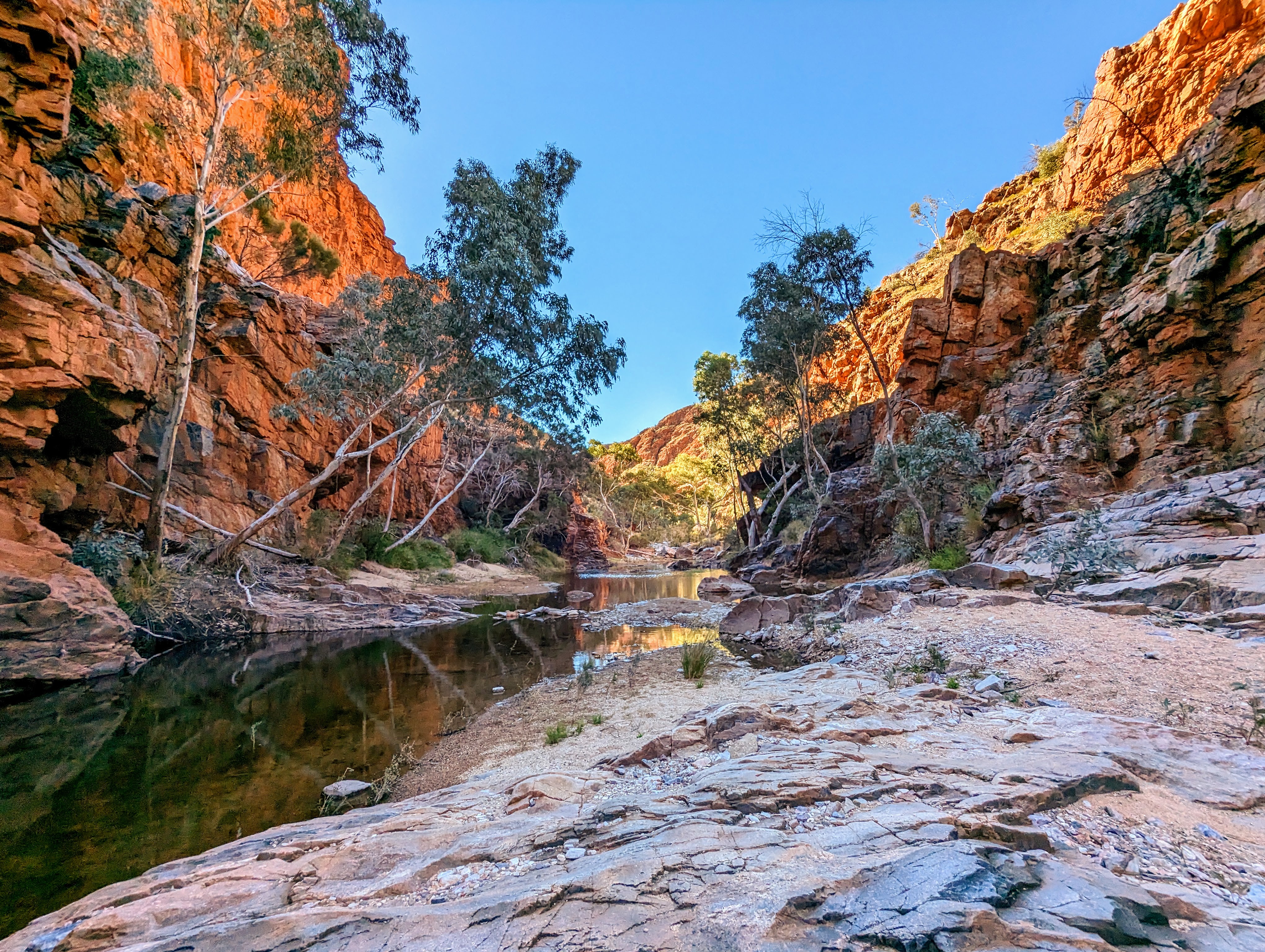
That afternoon we arrived in a gorge where the water had not yet dried up and so we could not walk through. After passing our packs along a difficult boulder edge, we stripped down to our underwear, and swam the short distance across to where we could continue walking from. Lying at the bottom of a high chasm that rarely saw sunlight, the water was frigid and too deep to stand in. But on the other side of our passage, the sun was pouring down from a cloudless sky onto a large flat rock platform from where we could dry and warm up before dressing and completing the remaining few kilometres of the day’s walk.

The entrance to the remaining wet gorge we swam across
And as I reached the end of section 4, feet aching, knee aching, it signalled the end of another day, and halfway of the hike. The other guide collected us from the end of the section and drove us back to our idyllic waterhole campsite, where once again, as night fell, the sky exploded with stars, as if someone turned on a billion fairy lights all at once.
Day four: section 8, 16.5km
Once more awake before dawn, we packed up our swags, ready for them to be relocated to our next campsite with one guide while we walked for the day with the other. It was another day of spectacular views, as we walked along the top of the high ridge of Brinkley Bluff, stunning views of the surrounding landscape stretched in every direction around us. From our morning tea rest stop we could look down into Hidden Valley, where we would be walking the following day. When viewed from this vantage point, it seemed impossible that we could traverse this dramatic landscape.
The view down into Hidden Valley from Brinkley Bluff
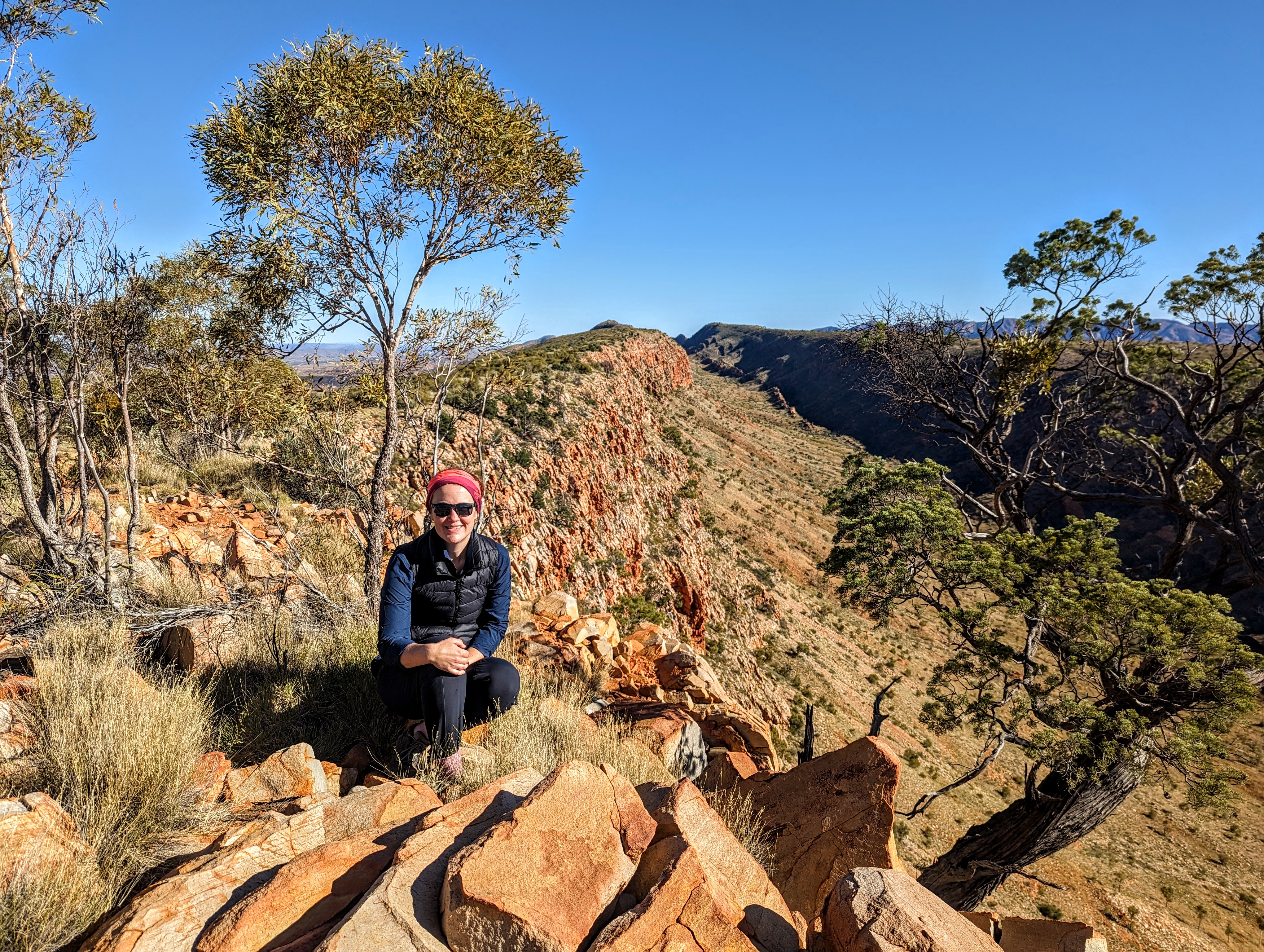
The morning’s walk culminated in an incredible outlook at Count’s Point where we stopped for lunch. From there, we looked straight down the spine of the range to where, far off in the distance, we could see the outline of Rutjupma (Mt Sonder), where we would end our hike on day six.
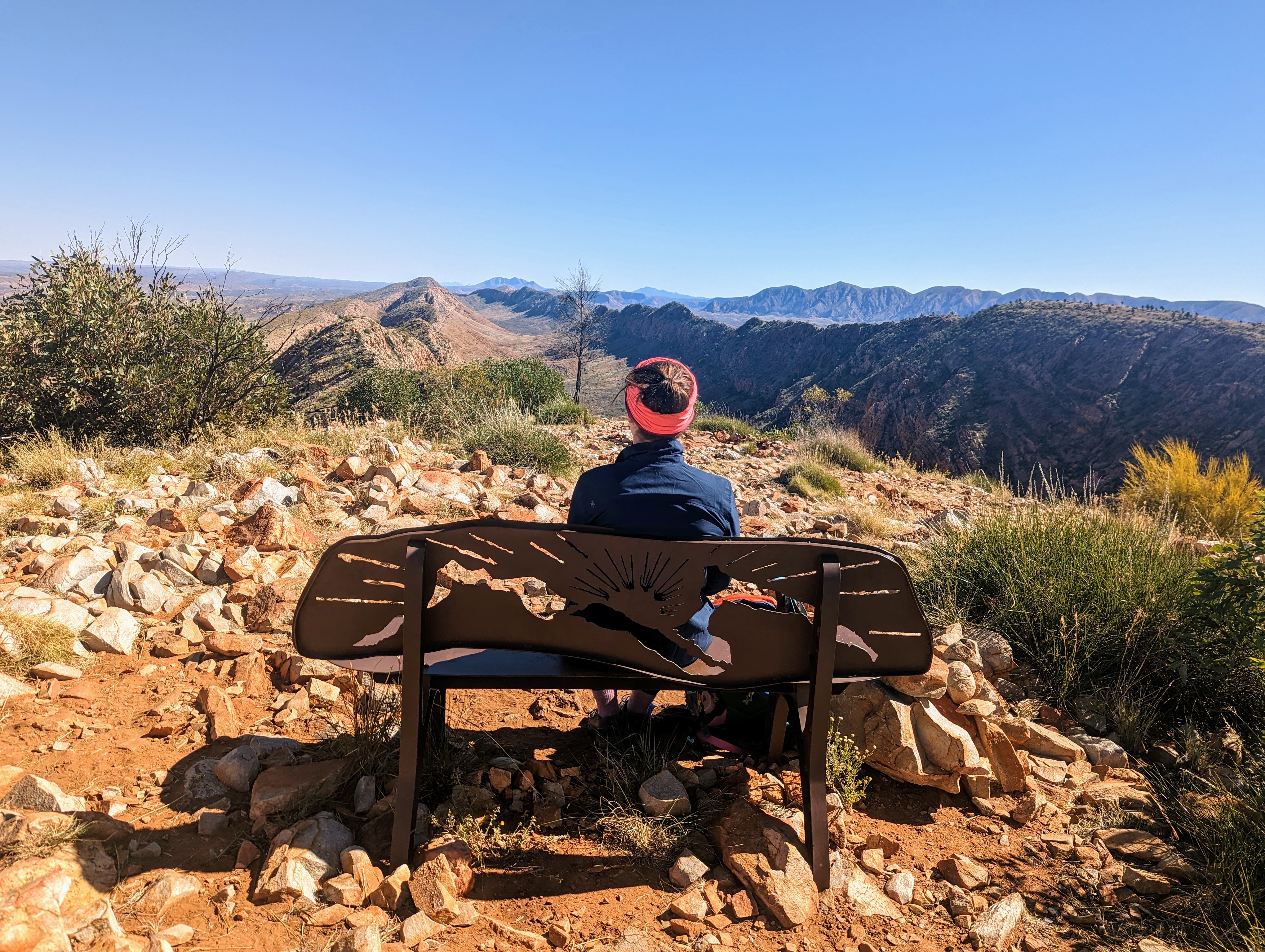
The view from Count's Point
After lunch and photos, we commenced our descent. For the first time, my knee now progressed from an ache to outright pain, and as I very slowly and gingerly traversed the descending switchbacks, my frustration grew as I felt twice my age and experienced my body failing me in ways I have yet to feel. As I navigated the descent, my left knee twinging with pain on each step, the next day’s walk played on my mind; doubt starting to trickle in about whether I’d be able to complete the hike’s longest day. Coming in at 30km, it would be nearly twice what we were hiking today.
Thankfully though, my knee was only painful going downhill, and so as we walked into camp, some 16km later, I felt sure I would be fine for the rest of the hike. In hindsight, I think that was the combination of volatrin, paracetamol and ibuprofen I had taken.
That evening, we sat in our chairs around the campfire for the next day’s briefing, the feeling of anticipation palpable among the group. The next day we’d be doing section 5: the longest section of Larapinta. 30km over 12 hours. We’d already walked around 70km in the last four days and I was worried whether my knee would cope with the sustained pressure of a 30km walk, but as I listened to the briefing, I decided that the pain was tolerable and I didn’t want to miss this section of the walk. So I went to bed, feeling determined, but anxious, the star-spangled sky visible through the trees above my little corner of the campsite.
Day five: section 9, 30km
We woke at 3.45am to start walking by 4.30am. The pre-dawn air was still near freezing, and so we walked out of our camp, layered up and head torches on, silently passing some hikers camped at the start of the section, still asleep in their tents.
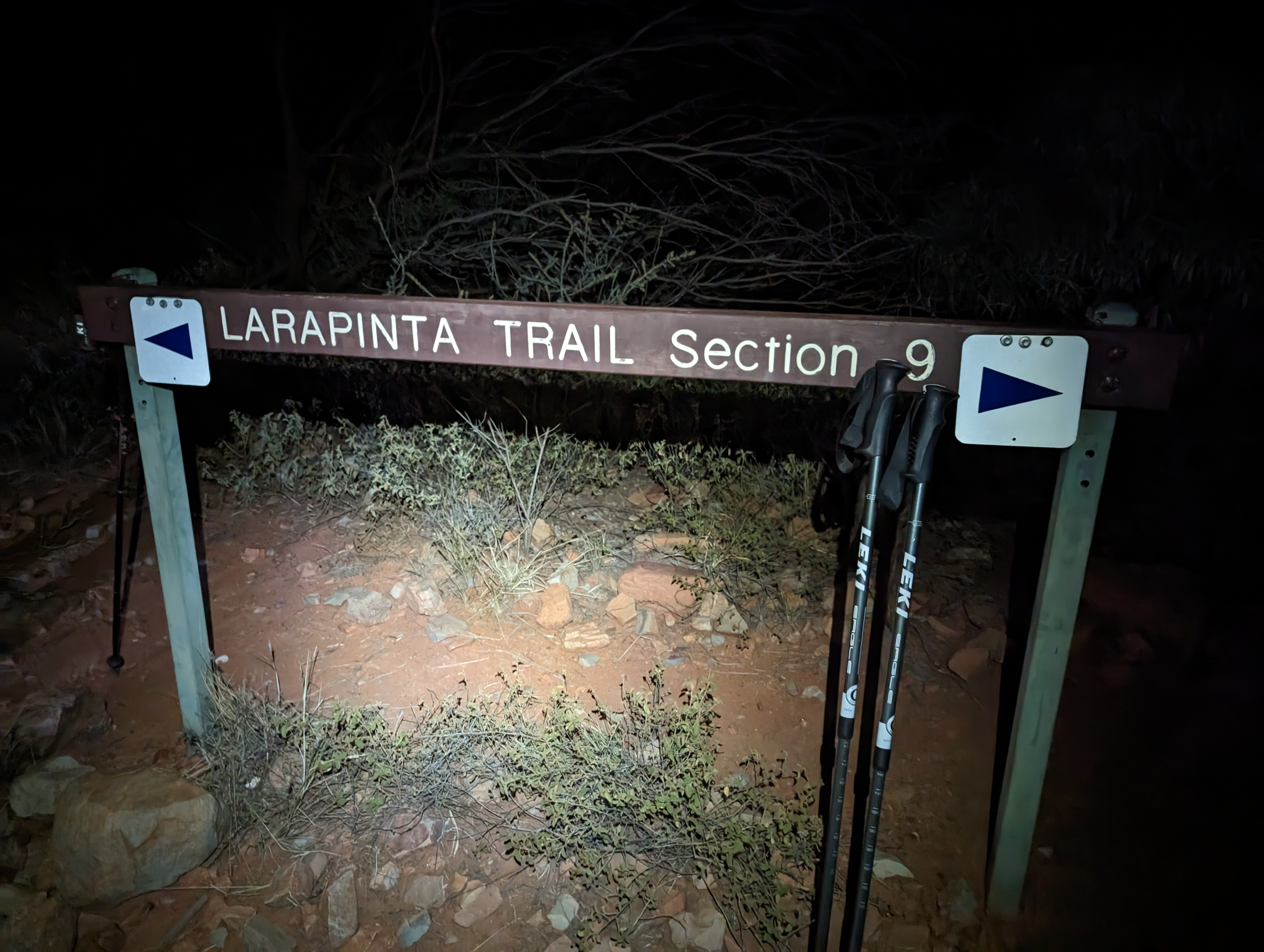
The start of section 9 pre-dawn
As we covered the first few kilometres in the dark, my knee was already sore and I contemplated returning to camp, feeling comfortable that it wasn’t that far and I’d be able to find my way back alone. But my determination to walk, and my longing to see the landscapes, made me resist that thought with each passing kilometre.
We walked through Inarlanga pass, the sheer rock walls imposing a dark mass against a black sky, its presence only noticeable in the darkness because of the absence of stars. But the flash of a head torch shone above revealed the towering quartzite walls rising high above us on either side.
We left the gorge and entered Hidden Valley, still in darkness. As we meandered along the valley floor in total silence with our head torches lighting the way I imagined that from above we appeared to be a fluorescent caterpillar curving its way through an otherwise lightless valley.
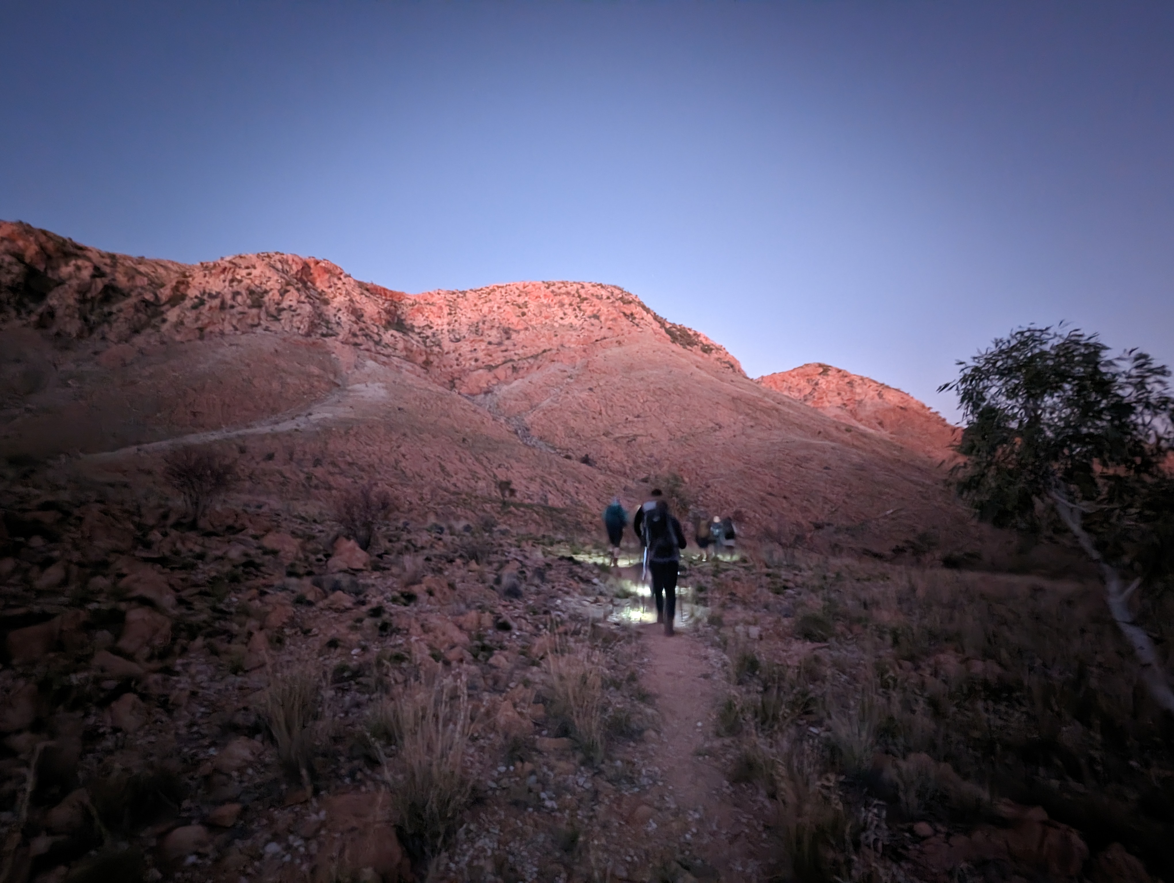
Meandering through Hidden Valley
The highlight of the day, and my highlight of the walk, was watching the sun rise up from behind the mountains to the east of us, splashing the range to the west with a golden glow and turning the sky pastel pink.
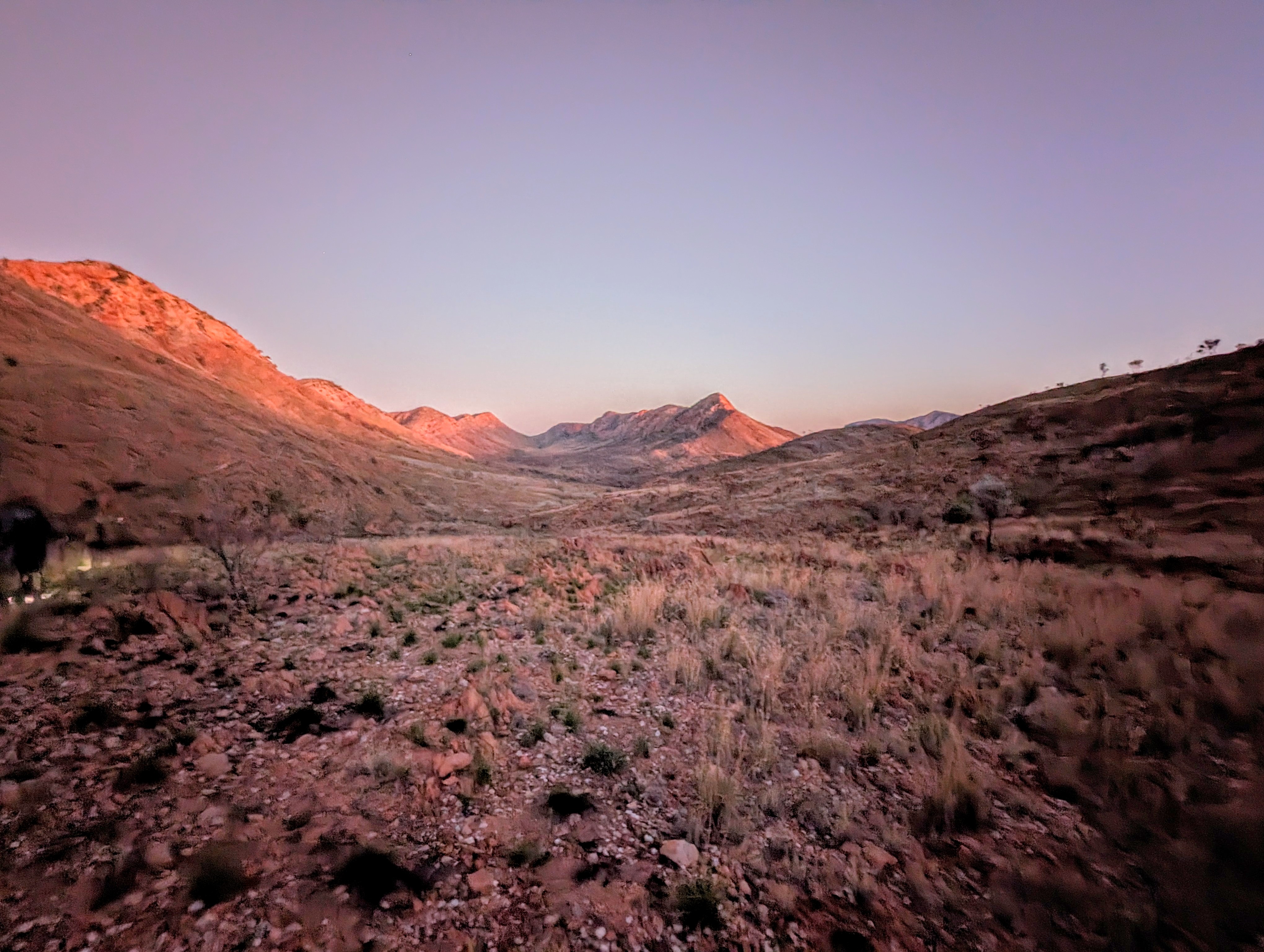
The sun rising over Hidden Valley
The next 10km was a relatively flat walk, helping to ease the pain in my knee, as we meandered through the valley floor, pausing every now and then to photograph the wildflowers and take in the breathtaking scenery.
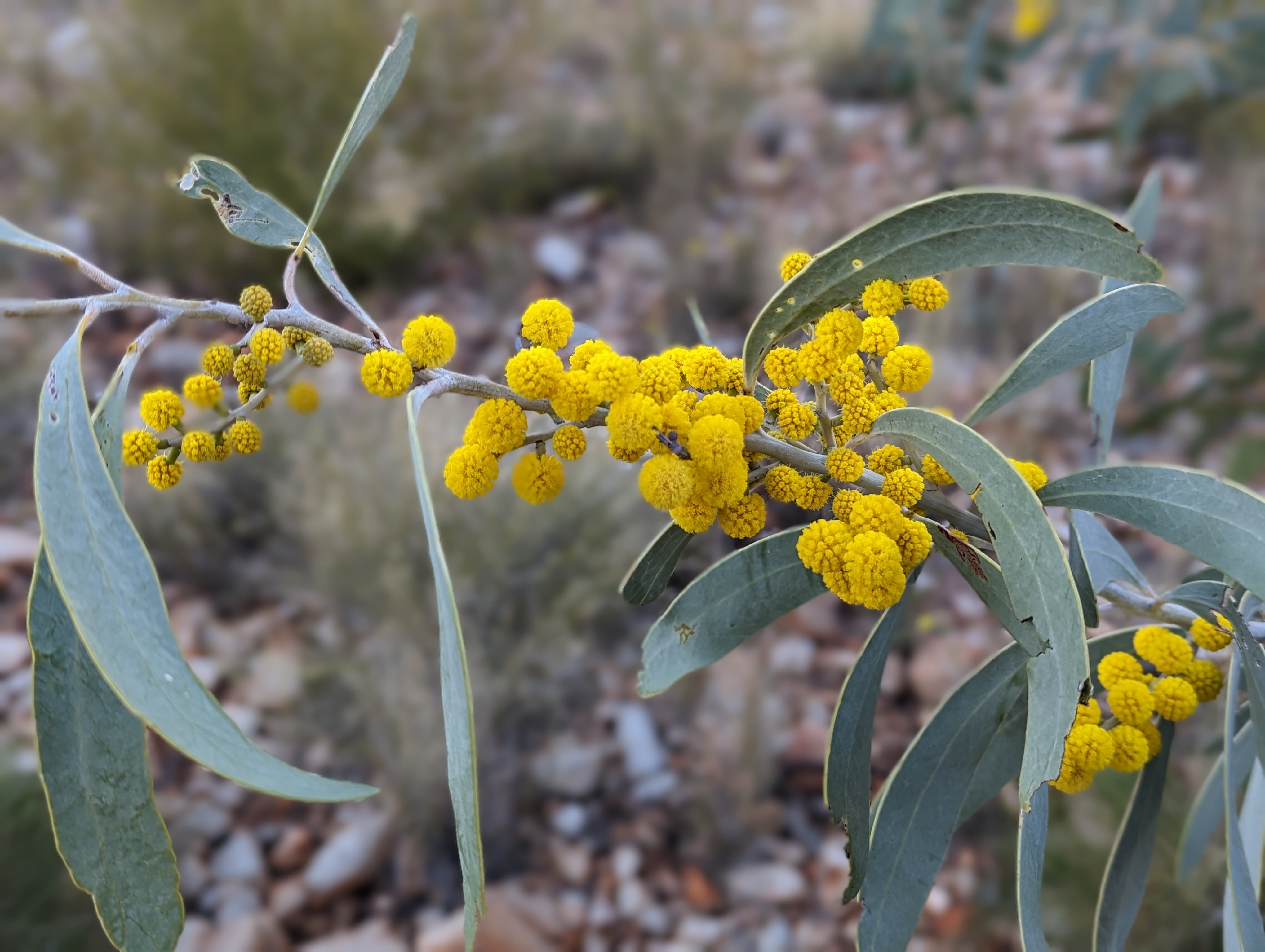
Wildflowers
Leaving the valley, we rose up and down to cross three saddles to arrive at Waterfall Gorge, the halfway point of the day. After a snack break, we continued on and by the 20km mark I knew I wouldn’t be walking the next day. Every step was painful and my pace had slowed too much. No matter how much I wanted to finish the full six days I knew then that it would have to be the last, and so I took it all in for the remaining 10km, enjoying the changing landscapes and the company of my fellow walkers. And when I arrived at the beautiful riverbed that signalled the end of the day’s walk, the sun starting to sink slowly behind the enveloping gorge walls, it was with disappointment and relief that I finished my Larapinta hike.
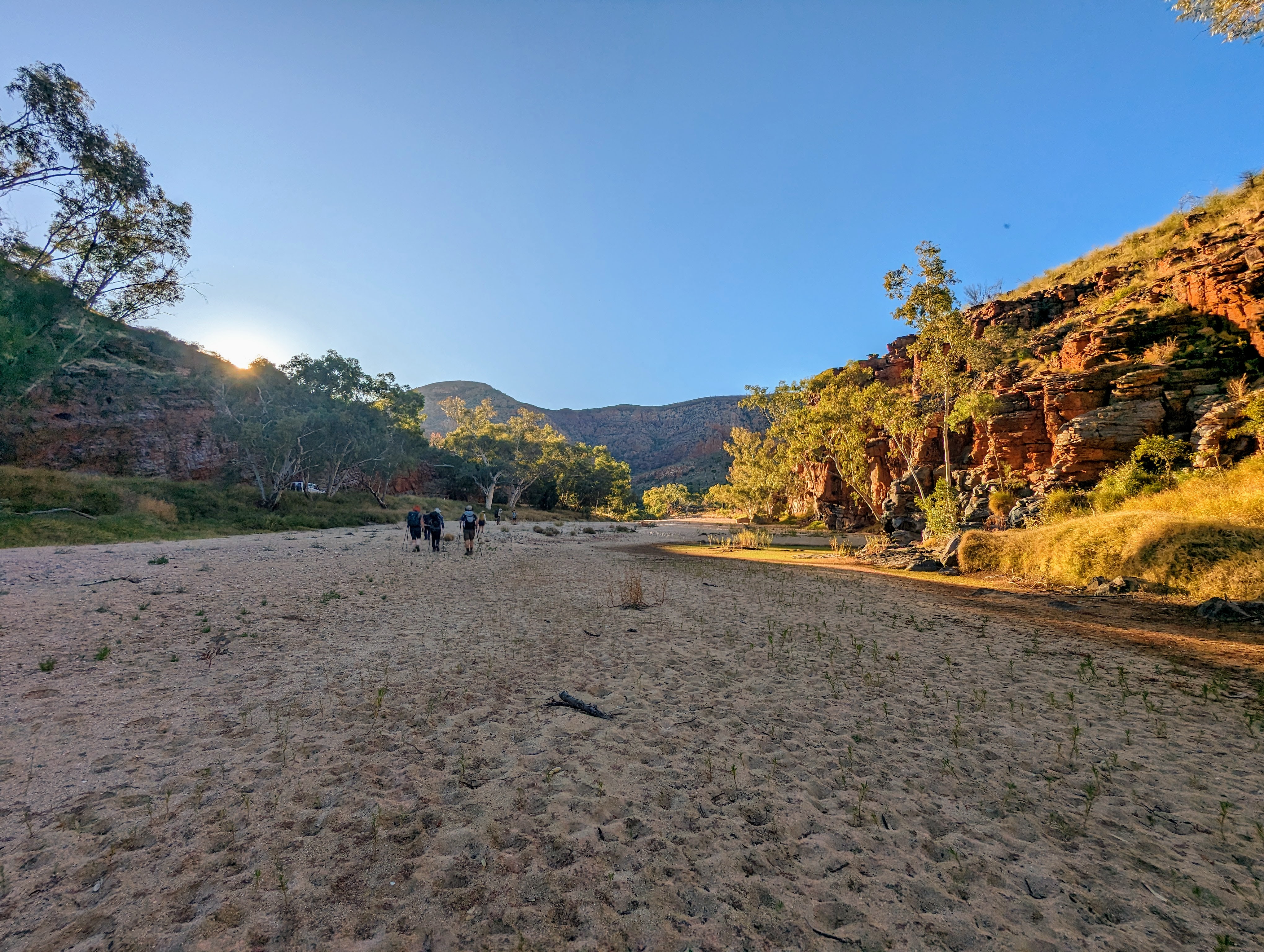
The sandy riverbed where we finished section 9
I fell asleep easily that night, perhaps in the knowledge that I wouldn’t have to wake up early the next morning, my drooping eyes catching a final glimpse of another spectacular sky salted with stars.
Day six: camp, 0km
I missed the final day’s walk, which was a return climb of Rutjupma (Mt Sonder). The group rose at 2.00am so they could summit the mountain for sunrise. I, on the other hand, greeted the new day from the warmth of my sleeping bag, which I had set up under a gum in a secluded section of the dry, sandy riverbed where we made camp. I woke just as the sky was turning a delicate shade of marmalade, and the sun was a soft glowing orb peeking above the horizon. It had been a very cold night and the frost had settled as a frozen white layer all over my swag and pillow, except for the small circle in the middle of the pillow where my head had been.
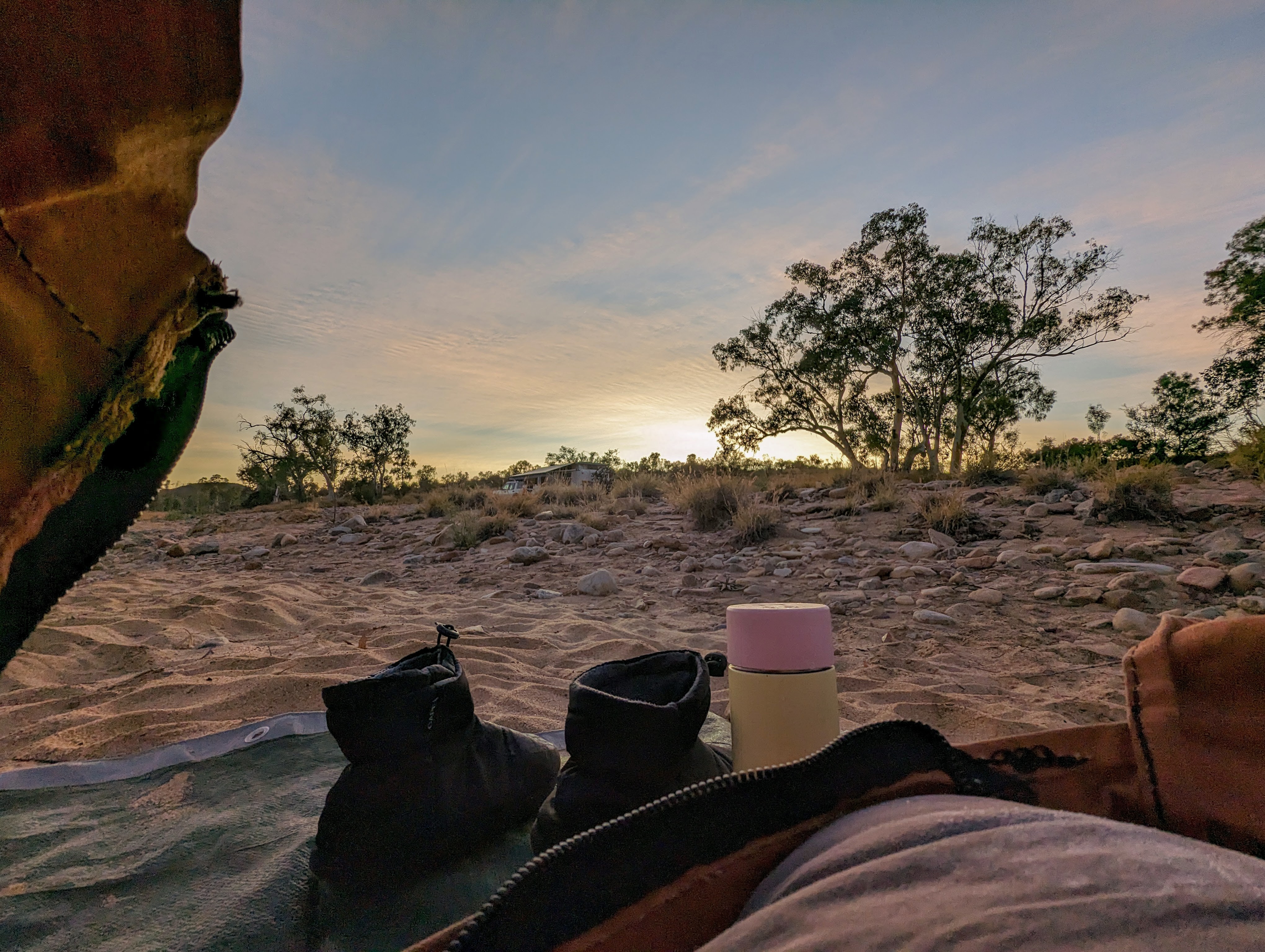
Sunrise from my swag
I hadn’t heard the group depart in the middle of the night; they were probably too tired to talk and I suspect I was sleeping soundly knowing I wasn’t getting up merely five hours after going to bed. As the sky turned from marmalade to pale blue, and I saw the guide up at camp making a fire, I reluctantly unzipped my swag, layered up and gingerly walked up to the edge of the riverbed where camp was set up, the pain in my knee confirming I made the right decision to stay behind.
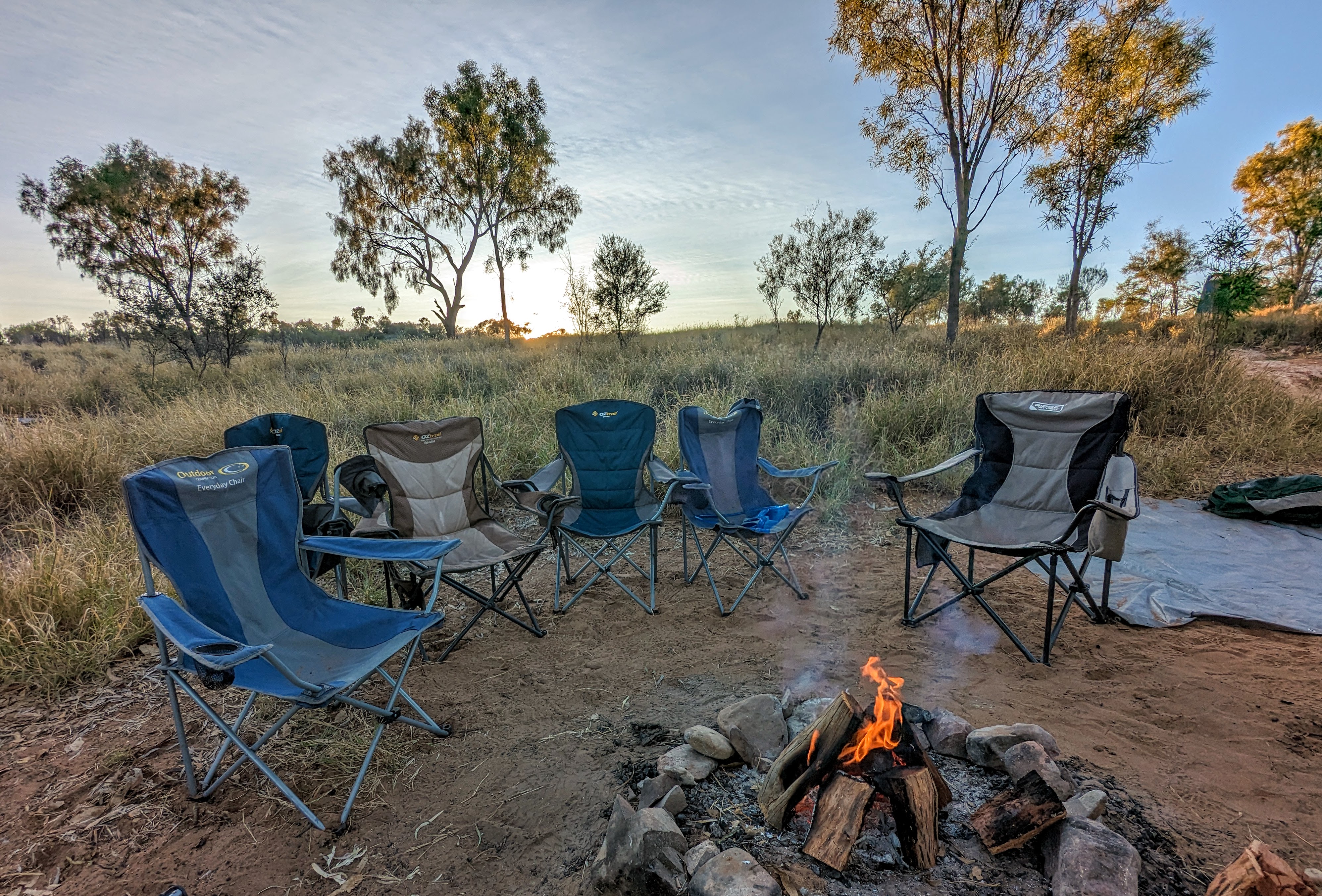
The morning fire at camp
I enjoyed a hot cup of coffee by the fire before we were joined by a guide from another group who brought some french toast over to us for breakfast. After some warm french toast drizzled in honey and a second cup of coffee, I changed into my swimmers and went for a dip down at the creek, purging myself of all my filth with an icy dip. By then, the mid-morning sun was high in the sky, just warm enough for me to sun myself like a lizard on the sandy bank of the creek to dry off. My eyes were closed and I smiled to myself, realising I didn’t feel like I had missed out on anything after all. I was disappointed that I didn’t complete the full six days, but I had walked further than I had ever walked and experienced one of Australia’s best hiking trails, and that was enough.
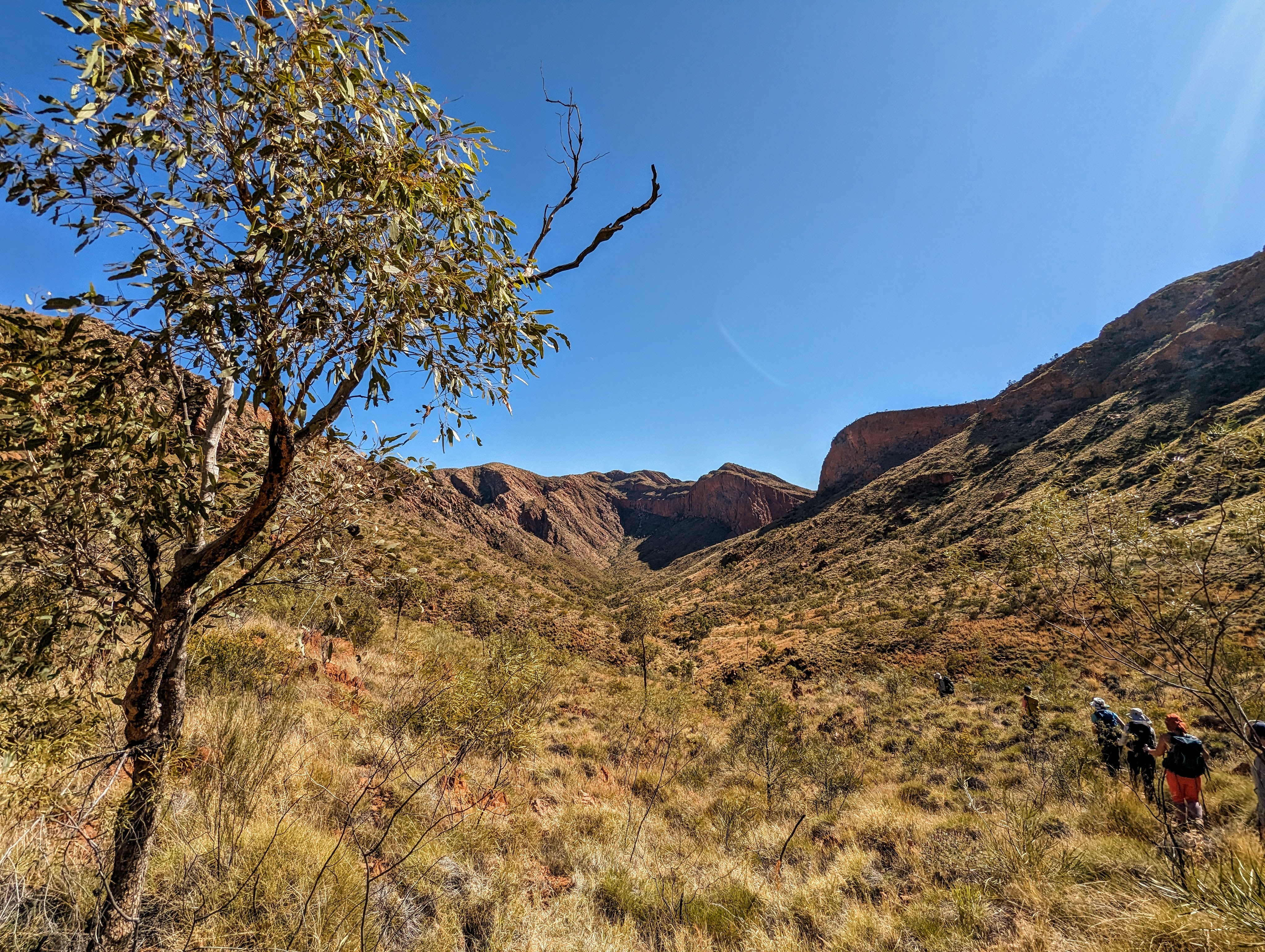
A scene on the long section 9 walk
The light breeze dancing across my body was just cold enough to keep me awake and after 20 minutes or so, I was dry, and so I returned to my swag to dress and pack up. I had barely rejoined the guide at the fire, where he was preparing a hot brunch, when the group returned at 11.00am, exhausted, tired, sore and hungry. We all enjoyed our final meal together before packing up the camp, and loading once more into the troopie for the drive back to Alice.

The troopie that transported us between camps
“It is the movement as well as the sights going by that seems to make things happen in the mind, and this is what makes walking ambiguous and endlessly fertile: it is both means and end, travel and destination.” Rebecca Solnit, Wanderlust
